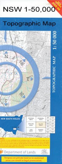
Rocky Dam 1- 50,000 NSW Topographic Map
$16.95
Description:
Rocky Dam 1- 50,000 NSW Topographic Map 9039N
Locations within this Map
Lindon Downs Avoca The Knoll Pretoria Iola Boorooka The Grove Bundabah Erindale Kindee Bedwell Downs Baltimore Waratah Brigalow Park Wongalea Ridgelands Turkey Plain Glenroi Hibernia The Ranch Strath Isle Blue Knobby Meriti River Court Redford Springs Wendilla Strathview Monowai Cowranga Mount Carmel Gunnamatta Nobby Park Forest Hill Carbeens Kellalar Ashton Emo-Ruo Mt Ottley Carinya Denham Delkoora Daljay Mt Roo Mygunyah Bim Bimble Oban Pine View Gonnetty Mill Homebush Apple Tree Flat The Brothers Fairview Stirling Garthowey Shalimar Glencoe Connecticut Glenlee Hidden Valley Lavender Vale Willunga Coolatai Longview Rosedale Carlyn Colomie Mona Valley Allandale Dunedin Clifton Freestone Roselea Wybalena Springfield Westholme Agincourt Kargorum Mountain Valley Aroha Hillside Apple Tree Creek Back Creek Abercrombie Bald Nob Bald Nobs Big Bee Creek Big Sandy Creek Blue Nobby Creek Black Jack Boonal Creek Chain of Ponds Creek Coolatai Cemetery Coolatai Common Cucumber Dangar Brothers Dungeon Creek Ellis Ena Ena Creek Fishers Dam Flaggy Creek Gap Creek Gibbergunya Creek Cockatoo Dam Coolatai Public School Flaggy Gully Branch of Flaggy Gully The Great Falls Branch of C Hugheys Arm Creek Limestone Limestone Caves Limestone Creek Little Bee Creek Little Sandy Creek Little Smedleys Creek Long Plain Creek Long Plain Gully Macintyre Macintyre Falls Mandoe Mandoe Creek Myalls Broken Gully Orphan Annie Mount Ottley Parkhurst Parkhurst State Forest Pepperbox Pepperbox Hill Mount Pepperbox Reedy Creek Rocks Crossing Rocky Dam Rocky Dam Cemetery Rocky Dam Rifle Range Roo Hill Russell Russell Hill Mount Russell Russell Sugarloaf Severn Severn River Falls Smedleys Creek Spring Gully Stephenson Stony Creek Sugarloaf Arm The Dungeon The Rocks Ticketty Creek Ticketty Gap Creek Ticketty Well Tricketty Creek Tricketty Gap Creek Wallaby Knob Wallangra Wallangra Camp Wallangra Public School Wallangra Showground Yaleroi Yallaroi Yallaroi Creek Yallaroi State Forest Yallaroi Sugarloaf Bunal Bunal Creek Bunal State Forest Bunal Flora Reserve Kwiambal National Park Blue Nobby Ashford Caves Karst Conservation Reserve Taringa Nature Reserve Round Mountain The Round Mountain Black Dam Severn River Tricketty Gap
| Scale: | 1:50000 |
| Latitude Range: | 29° 0.0′ S – 29° 15.0′ S |
| Longitude Range: | 150° 30.0′ E – 151° 0.0′ E |
| Datum: | GDA 94 |
| Approx Print Size: | 0.56m X 1.11m |
| Publication Date: | 2011 |