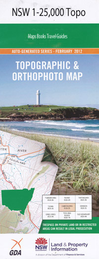
Tenterden 1-25,000 NSW Topographic Map
$16.95 – $31.95
Description:
9137-1-S Print on Demand
Bellevue Hill Kinross Stockbridge Come by Chance The Falls Gowrie Banchory Park Brushy Creek Pine View Ramah Balnagowan Essington Briarbrook Westbrook West Lynn Hillsborough The Basin Roxburgh Idaho Morven Abington Boundary Gully Buchanan Falls Station Creek Five Mile Station Frying Pan Gully Georges Creek Georges Mountain Hardinge Hills Pocket Gully Laura Creek Little Creek Lockyer Creek Louisa Creek North Branch Old Five Mile Sheep Station Old Five Mile Station Puddledock Creek Rocky Ridge Gully Rumbling Mountain St George Sandy Creek Skinner South Branch Tenterden Tenterden Public School Toms Creek Whisky Creek Whisky Gully Wild Horse Range Williams Winter Station Creek Bullock Creek Dry Creek Dumaresq Valley
| Name: | Tenterden |
| Publisher: | New South Wales Government |
| Scale: | 1:25000 |
| Latitude Range: | 30° 7.5′ S – 30° 15.0′ S |
| Longitude Range: | 151° 15.0′ E – 151° 30.0′ E |
| Datum: | GDA 94 |
| Approx Print Size: | 0.56m X 1.11m |

