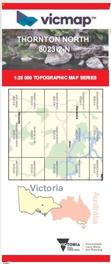
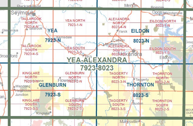
THORNTON NORTH 1-25,000 Vicmap Topographic Map 8023-2-N
$14.00 – $26.00
Description:
THORNTON NORTH 1-25,000 Vicmap Topographic Map 80232N NOW PRINT ON DEMAND is used for Walking, 4WD, Fishing, Camping, Motorcycle, both On and Off Road, Gold Prospecting and for those simply going for a family weekend drive.
This is a new series of 1-25,000 scale maps, only certain sections of Victoria are covered by these maps.
Topographical maps show not only Contours of the Terrain but Walking Tracks, Sealed and Unsealed Roads, Rivers, Creeks, Lakes, Historical Points of Interest, Old Mine Sites mbtg and National and State Park areas.
Also now available printed on Plastic Waterproof Paper Folded
Main Features of this map includes:
Covers the old series Rubicon and Torbreck 1-25,000 maps
Thornton, Rubicon, Mount Torbreck, Goulburn River, Walker Hill, pert of the Rubicon State Forest, Andrews Spur, CERBEREAN RANGES, Christie Hill, Robb Hill, Snobs Creek, Wightman Hill, Snobs Creek Falls, Banyarmbite Cascades, Morriss Lookout, Kendals Camping Area, Royston Range, Rubicon Falls, Lower Royston Cascades, mbtg, Hobin Gap (Pound Gap), Torbreck Range, MOUNT TORBRECK NFSR, Blue Gum Saddle, Dry Creek Hill, Dry Creek Gap, Barkers Ridge, Barkers Gully Falls, southern section of Lake Eildon, Jerusalem Inlet, Wilson Inlet, Knowles Gap, White Cow Gap, Conn Hill, Cabbage Tree Gap, Otoole Flat Camping Area, The Pinnacle, Rocky Spur, Pinnacle Walking Track, Wombat Spur,
Western part of the Cathedral Ranges, including TEN FATHOM RIDGE, Knobbys Spur, Neds Gully, Blackwood Flat, mbtg, The Gorge Falls


