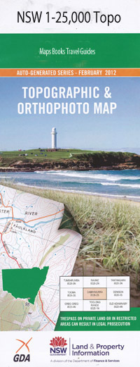
Toukley 1-25,000 NSW Topographic Map
$16.95 – $31.95
Description:
9231-3-NPrint on Demand
Norah Head Toukley Baden Powell Park Blue Bay Cabbage Tree Harbour Canton Beach Denniss Park Dunleith Point Eel Haul Bay The Fingers Gorokan Jenny Dixon Beach Jenny Dixon Reserve Jewfish Point Karagi Park Karagi Point Chinamans Bay Jenny Dixons Beach Jenny Dixons Reserve Karagi Lighthouse Beach Little Bay Mazlin Reserve Norah Norah Head Lighthouse Norahville Noraville North Entrance Beach North Entrance North Entrance Foreshore Reserve North Entrance Peninsula Nature Reserve Osborne Park Pebbly Beach Pebbley Beach Pelican Beach Pelican Point Pipeclay Point Rossetti Lookout Sandy Point Shelley Beach Shelly Beach Soldiers Beach Soldiers Point Swadling Park Tegerin Terilbah Island The Entrance The Entrance North The Entrance North Foreshore Reserve The Entrance North Peninsula Natural Area The Entrance North Public-School The Entrance Post Office Toowoon Bay Toowoon Point Toukley Gardens Toukley Post Office Toukley Public School Tuggarah Tuggerah Tuggerah Beach Tuggerah Entrance Budgewoi Lake Tuggerah Lake Tuggerah Reef Wallarah Point Yallawa Island Bull Rock Bungaree Head Bungaree Norah Bungaree Norah Point Hargraves Magenta Tim Farrell Reserve Tim Farrell Lookout Nimbin Beach Mariners Cove Lifeboat Beach Matron Simpson Reserve Bert Edmonds Reserve Lakeside Nora Head Tuggarah Lake Tuggerah Beach Lake Chinamans Beach
| Name: | Toukley |
| Publisher: | New South Wales Government |
| Scale: | 1:25000 |
| Latitude Range: | 33° 15.0′ S – 33° 22.5′ S |
| Longitude Range: | 151° 30.0′ E – 151° 45.0′ E |
| Datum: | GDA 94 |
| Approx Print Size: | 0.56m X 1.11m |