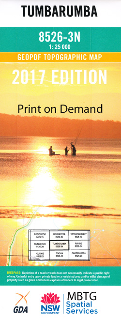
Tumbarumba 1-25,000 NSW Topographic Map
$16.95 – $31.95
Description:
8526-3-N Print on Demand
Locations within this Map
Tumbarumba Beaumont Big Hill Blakes Creek Boggy Creek Boggy Gully East Burra Creek Hay Cowra Creek or Paddys River Mccabes Creek Mannus State Forest Moody Moodys Hill Paddys River Paddys River Falls Pound Creek Rocky Creek Ruby Creek Sheep Station Creek Spurgeons Gully Stony Creek The Nine Mile The Racecourse Town of Tumbarumba Tumbarumba Cemetery Tumbarumba General Cemetery Tumbarumba High School Tumbarumba Hill Tumbarumba Post Office Tumbarumba Public School Tumbarumba Racecourse Tumbarumba Showground Two Mile Creek Union Jack Race Burra Burra Creek Burra Creek Left Branch Burra Creek Right Branch Stoney Creek Greenwood Akuna Cowra Creek
| Name: | Tumbarumba |
| Publisher: | New South Wales Government |
| Scale: | 1:25000 |
| Latitude Range: | 35° 45.0′ S – 35° 52.5′ S |
| Longitude Range: | 148° 0.0′ E – 148° 15.0′ E |
| Datum: | GDA 94 |
| Approx Print Size: | 0.56m X 1.11m |
Read More


