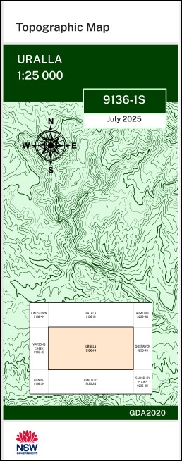

Uralla 1-25,000 NSW Topographic Map 9136-1-S
Price range: $16.95 through $28.95
Description:
Uralla 1-25,000 NSW Topographic Map 9136-1-S Print on Demand
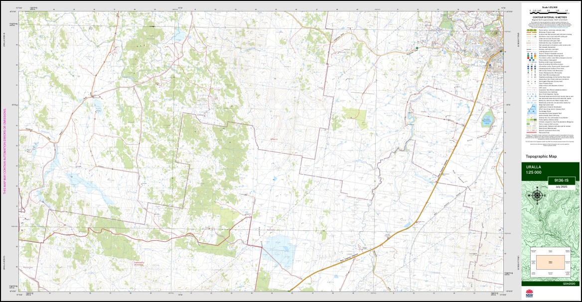
Lana Wilsons Creek Khartoun Why Worry Pomona Manuka Farm Roumalla Glenaire Lakeview Silversworth Hillcrest Glenleigh Glenburnie Church Gully Balmoral Dalveen Oranah Forest Hills Taliesker Maisters Swamp Kentucky Bareena Standbye Avondale Balala Basins Creek Camerons Gully Chilcotts Creek First Great Falls Flat Rock Gully Goaties Gully Great Falls Harnham Harnham Hill Kentucky Creek Kentucky Railway Station Cunninghams Swamp Kentucky Ponds Kittys Garden Creek Lana Creek Lana Wildlife Refuge Little Gully Looanga Mount Lookout Lower Wallaby Rocks Molong Creek North Molong Creek Pine Creek Quartz Gully Reedy Creek South Molong Creek Three Mile Station Creek Thunderbolts Rock Turnbulls Gully Wallaby Rocks Devon Dippy Creek Burial Ground Gully Rocky River Wooldridge Fossicking Area Uralla
| Name: | Uralla |
| Publisher: | New South Wales Government |
| Scale: | 1:25,000 |
| Latitude Range: | 30° 37.5′ S – 30° 45.0′ S |
| Longitude Range: | 151° 15.0′ E – 151° 30.0′ E |
| Datum: | GDA 2020
Edition 2025 |
| Approx Print Size: | 0.56m X 1.11m |
You may also like…
-
Haning 1-25,000 NSW Topographic Map 9136-3-N
Price range: $16.95 through $28.95Select options This product has multiple variants. The options may be chosen on the product page -
Balala 1-25,000 NSW Topographic Map 9136-1-N
Price range: $16.95 through $28.95Select options This product has multiple variants. The options may be chosen on the product page -
Kentucky 1-25,000 NSW Topographic Map 9136-2-N
Price range: $16.95 through $28.95Select options This product has multiple variants. The options may be chosen on the product page -
Bendemeer 1-25,000 NSW Topographic Map
Price range: $16.95 through $31.95Select options This product has multiple variants. The options may be chosen on the product page -
Walcha Road 1-25,000 NSW Topographic Map 9136-2-S
Price range: $16.95 through $28.95Select options This product has multiple variants. The options may be chosen on the product page