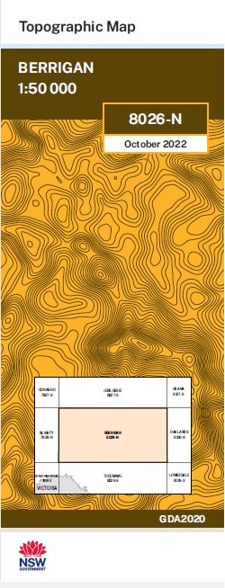
Berrigan 1-50,000 NSW Topographic Map
$16.95 – $28.95
Description:
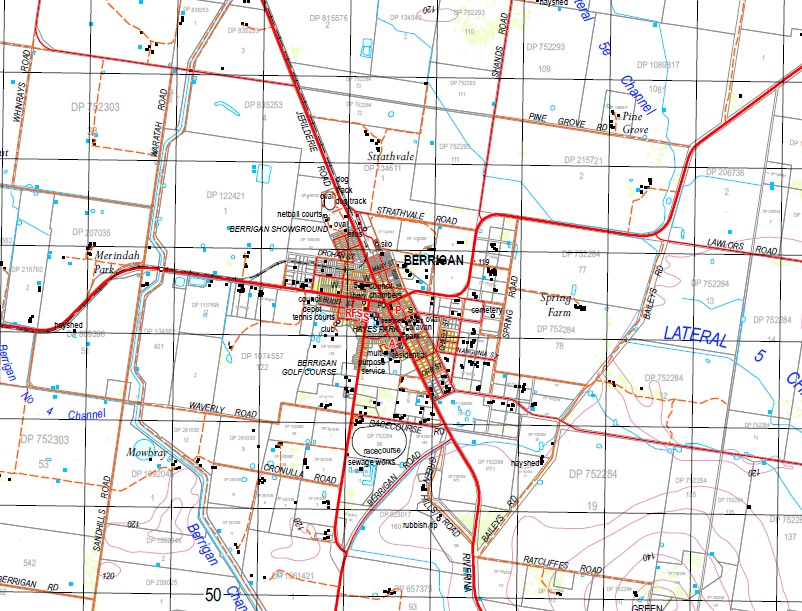
Berrigan 1-50,000 scale NSW Topographical map 8026N Now Print on Demand is used for Walking, 4WD, Fishing, Camping, Motorcycle, both On and Off Road, Gold Prospecting and for those simply going for a family weekend drive.
Topographical maps show not only Contours of the Terrain but also Walking Tracks, Sealed and Unsealed Roads, Rivers, Creeks, Lakes, Historical Point of Interest, Old Mine Sites and National and State Park areas.
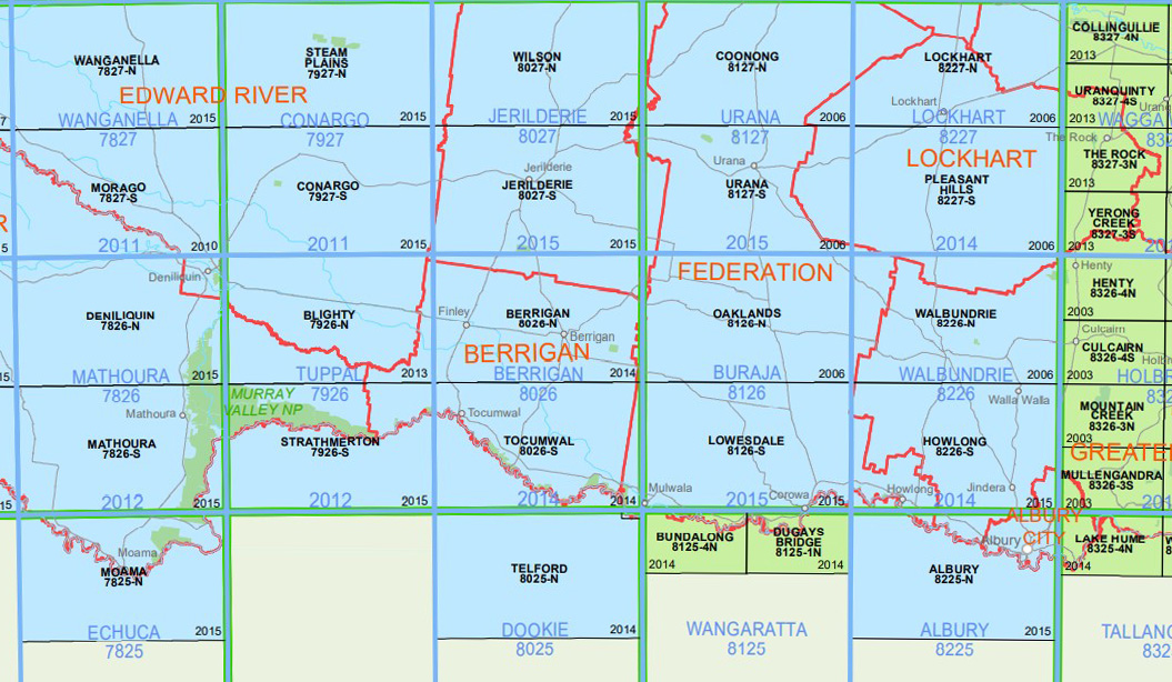
Locations within this Map
Berrigan Finley Berrigan Canal Berrigan Channel Berrigan Railway Station Berrigan State Forest Billabong Channel Blowhole Reserve Binnowee Coree South Curraghmohr Finley Channel Gereldery Green Hill Green Swamp Road Railway Station Headford Curraghnohr Siding Finley Canal Green Swamp Road Railway Siding Langunya Langunya Platform Leniston Leniston Platform The Lignum Mairjimmy Myall Plains Tank Native Dog Swamp Nyora Nyora Public School Osborne Osborne Well Osborne Well Public School Quarry Hill Sargood Tongaboo Trefoil Park Tuppal Creek Ulupna Wait A While Wait-While Warmatta Warragubogra Woodburn Woperana Berrigan Reservoir Finley Airport Finley Reservoir Nangunia Swamp Wannamurra Well Myall Plains Berrigan Creek Waldaira Green Swamp Road Murray Hut Well Wait-a-while
| Publisher: | New South Wales Government |
| Scale: | 1:50000 |
| Latitude Range: | 35° 30.0′ S – 35° 45.0′ S |
| Longitude Range: | 145° 30.0′ E – 146° 0.0′ E |
| Datum: | GDA 2020 |
Edition 2022


