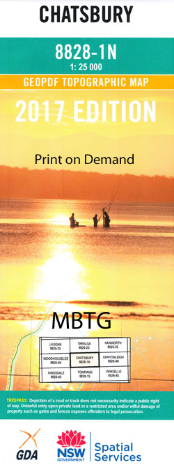
Chatsbury 1-25,000 NSW Topographic Map
$16.95 – $31.95
Description:
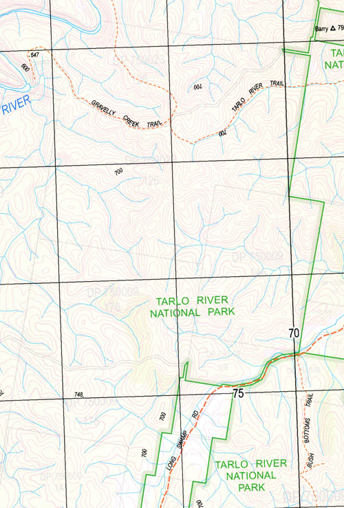
Chatsbury 8828-1-N1-25,000 Scale NSW Topographical Map is usedfor Walking, 4WD, Fishing, Camping, Motorcycle, both On and Off Road, GoldProspecting and for those simply going for a family weekend drive.
Topographicalmaps show not only Contours of the Terrain but also Walking Tracks, Sealed andUnsealed Roads, Rivers, Creeks, Lakes, Historical Point of Interest, Old MineSites and National and State Park areas.
 Laminate and folded this NSW Topographical map $12.00 see below.
This map includes the following localities: Big Hill Bridgy Creek Cameron Chain of Ponds Creek Chatsbury Chatsbury Creek Cookbundoon Cookbundoon Creek Cowper Deep Creek Mount Eagle Greenwich Greenwich Park James Junction Creek Cookbundoon River Kings Creek Little Bridgy Creek Long Swamp Macquarie Pass Meadow Middle Arm Creek Myrtle Creek Oak Range Creek Rhyana Creek Rhyanna Rhyanna Creek Scabing Flat Creek Small Creek Spring Creek Tarlo Tarlo Creek Tarlo Gap Tarlo Hill Tarlo River The Forest Turrallo Upper Tarlo Creek
| Scale: | 1:25000 |
| Latitude Range: | 34 30.0 S – 34 37.5 S |
| Longitude Range: | 149 45.0 E – 150 00.0 E |
| Approx Print Size: | 0.56m X 1.11m |
| Projection: | Transverse Mercator |
Print on Demand


