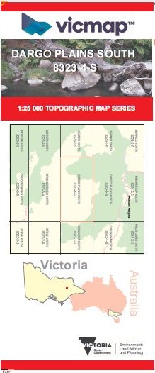
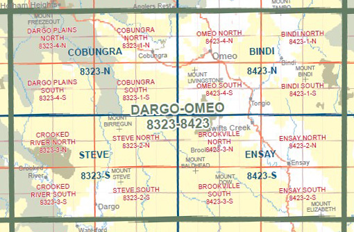
DARGO PLAINS SOUTH 1-25,000 Vicmap Topographic Map 8323-4-S
$14.00 – $26.00
Description:
DARGO PLAINS SOUTH 1-25,000 Vicmap Topographic Map 83234S Now Print On Demand is used for Walking, 4WD, Fishing, Camping, Motorcycle, both On and Off Road, Gold Prospecting and for those simply going for a family weekend drive.
This is a new series of 1-25,000 scale maps, all of Victoria is now covered by these maps, including maps over the South Australian and NSW Borders.
Topographical maps show not only Contours of the Terrain but Walking Tracks, Sealed and Unsealed Roads, Rivers, Creeks, Lakes, Historical Points of Interest, Old Mine Sites mbtg and National and State Park areas.
Also now available printed on Plastic Waterproof Paper Folded
Main Features of this map includes:
Frosty Creek Thirty Mile Creek Wongungarra River WHITE TIMBER SPUR WONGUNGAR RA CROOKED RIVER SPUR LOUISA RANGE VE NTURE SPUR TEA TREE R ANGE SAM JAMIESON SPUR LONG SPUR JONES SPUR JUNCTION SPUR SARAH SPUR CHARLEY GREY SPUR BLUE RAG RANGE THE GREAT DIVIDING RANGE BASALT NORTH TRK RITCHIE RD TEA TREE SPUR TRACK mbtg WONGUNGARRA TRACK TULLAMARINE TRACK SARAH SPUR TRACK TULLAMARINE TRACK BREWERY CREEK JEEP TRACK BLUE RAG RANGE TRK JONES CREEK LOGGING ROAD SAM JAMIESON SPUR TRACK SAW MILL SPUR TRACK NOONES RD MBTG WHITE TIMBER SPUR NORTH TRACK MCKENZIES RD RITCHIE ROAD BASALT SOUTH TRACK MCKENZIE TRK
MCMILLANS WALKING TRACK


