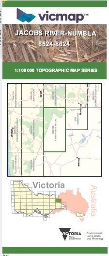
JACOBS RIVER NUMBLA 1-100,000 Vicmap 8524-8624
$14.00
Description:
JACOBS RIVER NUMBLA 1-100,000 Vicmap 8524-8624 NOW PRINT ON DEMAND is used for Walking, 4WD, Fishing, Camping, Motorcycle, both On and Off Road, Gold Prospecting and for those simply going for a family weekend drive.
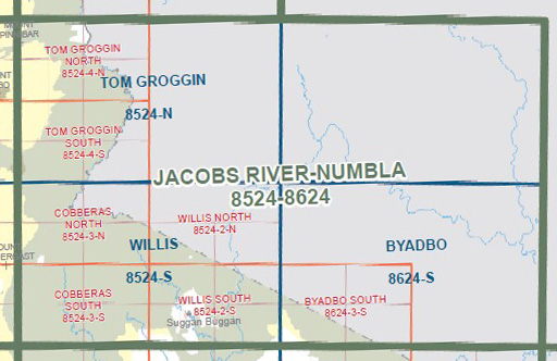
This is a new series of 1-100,000 scale maps, all of Victoria is covered by these maps.
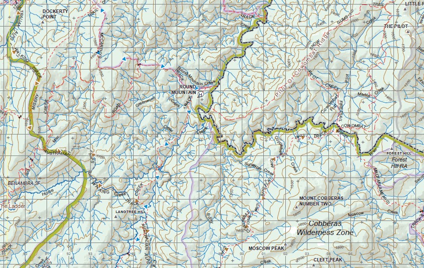
Topographical maps show not only Contours of the Terrain but Walking Tracks, Sealed and Unsealed Roads, Rivers, Creeks, Lakes, Historical Points of Interest, Old Mine Sites and National and State Park areas.
Main Features of this map includes:
Tom Groggin, Mount Pinnibar, Mount Hope, Davies Plain Ridge and Remote Area, Mount Murphy, Round Mountain, Moscow Peak, Buchan Headwaters, Forlorn Hope, Wulgulmerang, Mount Hamilton, MOUNT STRADBROKE, MOUNT WOMBARGO, Suggan Buggan, Suggan Buggan Remote and Natural Area, MOUNT
COBBERAS NUMBER ONE, MOUNT COBBERAS NUMBER Two, Cobberas Wilderness Zone, Murray River Headwaters, Cowobat, The Pilot, Indi Wilderness Zone, Thredbo Village, Pinch Mountain, MOUNT TROOPER, Willis, Mount Menaak, Mountain Hut Peak, BARRABILLI MOUNTAIN, Mount Taylor, Ingebyra, Lake Jillamatong, MOUNT TINGARINGY, Matong, Dalgety, Tombong


