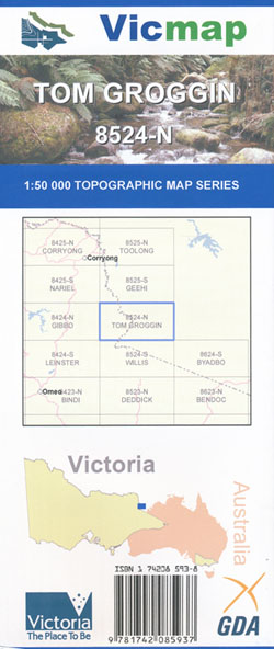
Tom Groggin 1-50,000 Vicmap
$12.00 – $24.00
Description:
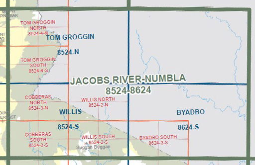
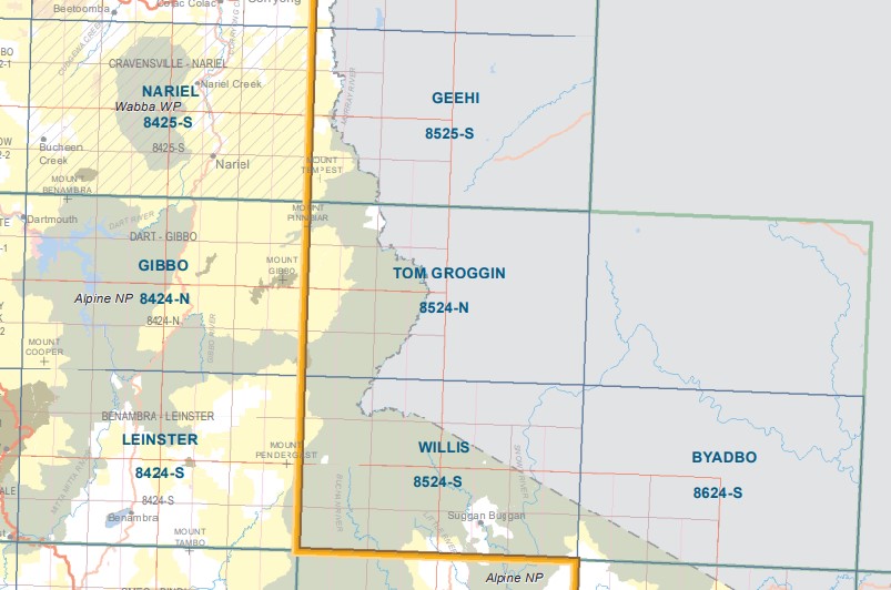
Tom Groggin 1-50,000 scale Vicmap Topographical map 8524N is used for Walking, 4WD, Fishing, Camping, Motorcycle, both On and Off Road, Gold Prospecting and for those simply going for a family weekend drive.
Topographical maps show not only Contours of the Terrain but Walking Tracks, Sealed and Unsealed Roads, Rivers, Creeks, Lakes, Historical Points of Interest, Old Mine Sites mbtg and National and State Park areas.
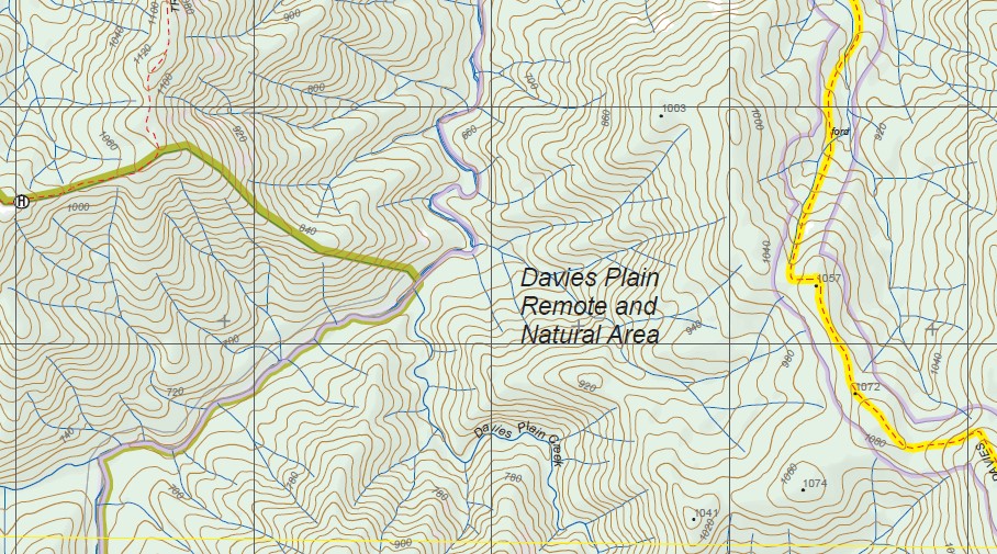
Main Features of this map includes:
From Mount Murphy (Victoria) to Thredbo (in NSW), Mount Pinnibar
Parts of the Bicentennial Trail and Australian Alpine Walking Track
Ton Grogging, Davies Plain Track, Tom Groggin Rest Area, Dogmans Hut, Tom Groggin State Forest, MOUNT PINNIBAR, SHADY CREEK UPPER TRACK, Gibbo Track, Gibbo State Forest, The Grassy Knob, Davies Plain Remote and Natural Area, NANKERVIS HUTS, Indi Wilderness Zone, Tom Groggin Reference Area (no public access), mbtg, Leather Barrel Creek, Pilot View Lookout, Tom Groggin Top Flat, Roughs Creek, Cascade Trail,
Davies Plain Track, Gibbo State Forest, Mount Hope, Mount Murphy and Mount Murphy Historic Area, Benambra State Forest, DOCKERTY POINT, Charlies Creek Hut & Camping Area, mbtg, Davies Plain Remote and Natural Area, Indi Wilderness Zone, Tom Groggin Reference Area (no public access), Little Pilot, Tin Mine Creek, Ingeegoodbee River, Tin Mine Falls
ISBN 9781742085937
You may also like…
-
Tom Groggin 1-25,000 NSW Topographic Map
$16.95 – $29.95Select options This product has multiple variants. The options may be chosen on the product page -
Willis 1-50,000 Vicmap
$12.00 – $24.00Select options This product has multiple variants. The options may be chosen on the product page -
Tallangatta 1-250,000 Topographic Map
$15.95 – $27.95Select options This product has multiple variants. The options may be chosen on the product page -
Geehi 1-50,000 Vicmap
$12.00 – $24.00Select options This product has multiple variants. The options may be chosen on the product page -
Gibbo 1-50,000 Vicmap
$12.00 – $24.00Select options This product has multiple variants. The options may be chosen on the product page -
Snowy Mountains Central Adventure Map Rooftop
$12.95 – $25.00Select options This product has multiple variants. The options may be chosen on the product page -
Australian Alpine Walking Track Map Set 1
$390.00 – $600.00Select options This product has multiple variants. The options may be chosen on the product page