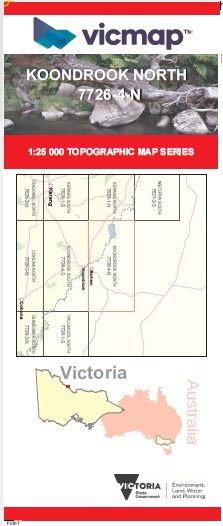

KOONDROOK NORTH 1-25,000 Vicmap Topo Map 7726-4-N
Price range: $14.00 through $26.00
Description:
KOONDROOK NORTH 1-25,000 Vicmap Topographic Map 77264N Now Print On Demand is used for Walking, 4WD, Fishing, Camping, Motorcycle, both On and Off Road, Gold Prospecting and for those simply going for a family weekend drive.
This is a new series of 1-25,000 scale maps, all of Victoria is now covered by these maps, including maps over the South Australian and NSW Borders.
Topographical maps show not only Contours of the Terrain but Walking Tracks, Sealed and Unsealed Roads, Rivers, Creeks, Lakes, Historical Points of Interest, Old Mine Sites, mbtg and National and State Park areas.
Main Features of this map includes:
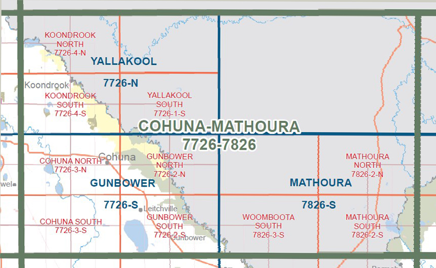
Covers the old series Koondrook North 1-25,000 Vicmap
Barham, Wakool River, Benwell State Forest, Benwell Camping Area 1 – 5, part of the River Murray Reserve, Thistle Plain Track Camping Area, Sheppards Track Camping Area 1 and 2, Snaggy Point Camping Area 1-3, Guttram State Forest, Guttram Camping Area, Culfearne, Billabong Track Camping Area 1 and 2, Sawpit Track Camping Area, Guttram Camping Area 1-3
You may also like…
-
YALLAKOOL SOUTH 1-25,000 Vicmap Topo 7726-1-S
Price range: $14.00 through $26.00Select options This product has multiple variants. The options may be chosen on the product page -
Wakool 1-50,000 NSW Topographic Map
Price range: $16.95 through $28.95Select options This product has multiple variants. The options may be chosen on the product page -
Yallakool 1-50,000 Vicmap
Price range: $12.00 through $24.00Select options This product has multiple variants. The options may be chosen on the product page -
KOONDROOK SOUTH 1-25,000 Vicmap Topo Map 7726-4-S
Price range: $14.00 through $26.00Select options This product has multiple variants. The options may be chosen on the product page -
Cohuna Mathoura 1-100,000 Vicmap Topo 7726-7826
Price range: $14.00 through $26.00Select options This product has multiple variants. The options may be chosen on the product page -
Cohuna Echuca Gunbower Map Hayman
Price range: $12.95 through $25.00Select options This product has multiple variants. The options may be chosen on the product page