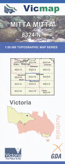
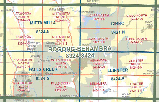
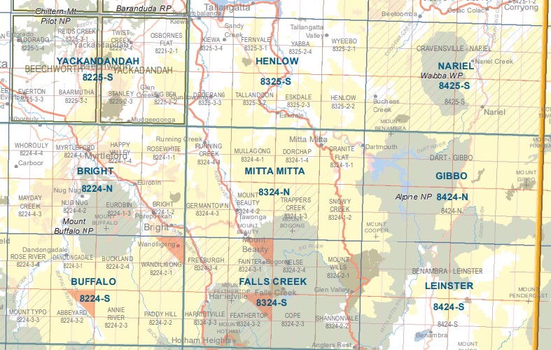
Mitta Mitta 1-50,000 Scale Vicmap Topographical Map 8324N
$12.00 – $24.00
Description:
Mitta Mitta 1-50,000 scale Victorian Topographical map 8324N is used for Walking, 4WD, Fishing, Camping, Motorcycle, both On and Off Road, Gold Prospecting and for those simply going for a family weekend drive.
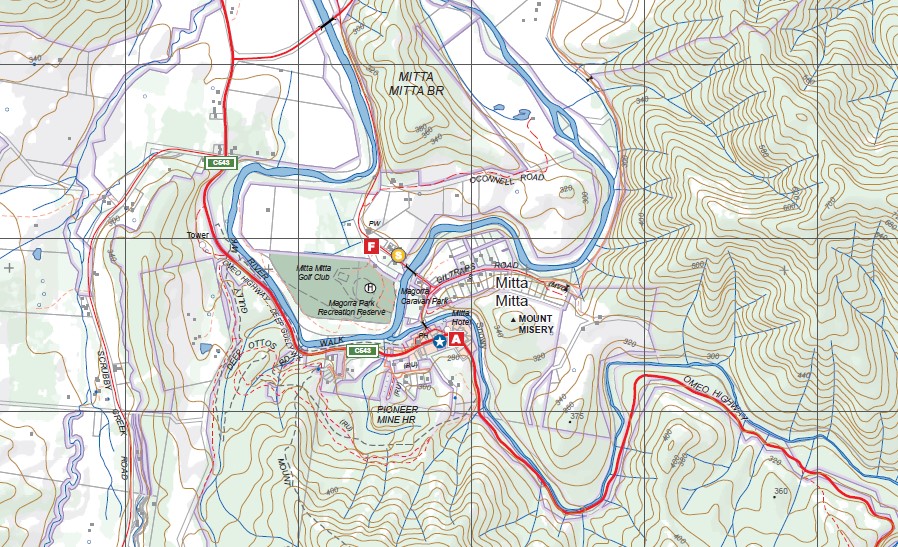
Topographical maps show not only Contours of the Terrain but Walking Tracks, Sealed and Unsealed Roads, Rivers, Creeks, Lakes, Historical Point of Interest, Old Mine Sites mbtg and both National and State Park areas.
Main Features of this map includes:
From Mount Beauty to Gundowring Junction through the Keiwa Valley Valley
Mitta Mitta, Pioneer Mine Historic Region, Mitta Mitta Airfield, Mount Dorchap, Granite Flat, Bocks Hill, Penman Spur, Sunshine Spur, Pearson Spur, Harry Dawes Spur, Gosport Mine (Disused), Elmo Track, Rodda Creek Track, Magorra Gap, Mitta Mitta River, Mount Welcome, Walshs Lookout, Doctors Point, Gilltraps Flat, Lake Banimboola, Granite Peak, Mitta Gap, Dartmouth, Banimboola Creek Natural Catchment Area, Mount Bogong, Trapper Creek, The Staircase, Little Mount Bogong, Hooker Plateau, Camp Creek Gap Mt Nybor, Rockingstone Saddle, Mulhauser Spur, Hopeful Spur
Running Creek, Coral Bank, Mount Tawonga, Penny Flat, The Premier Mine (Disused), Mount Yorke, Lone Hand Spur, Mount Elmo, Little Snowy Creek, Mount Beauty, Germantown, Ovens River, Tawonga, Tawonga South, Running Creek Bright Plantation, Mullindolingong, Cranky Charlie, mbtg, Eskdale Spur, Mount Emu, Little Mount Emu, Mountain Creek Camping Area, Bogong Hill, Moncrief Gap


