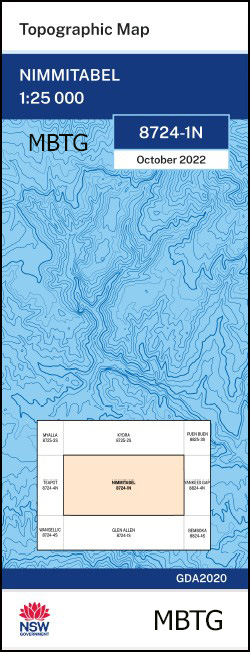
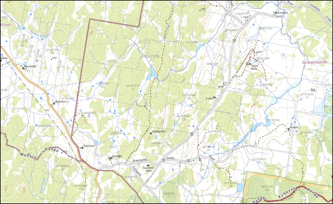
Nimmitabel 1-25,000 NSW Topographic Map
$16.95 – $28.95
Description:
Nimmitabel 1-25,000 NSW Topographic Map 8724-1-N Print on Demand
Nimmitabel Bemboka River The Big Bog Big Bog Creek Bombala River Brown Mountain Brown Mountain Lookout Cochrane Lake Coghills Rock Colombo Carters Creek Crab Creek Creams Creek Darbys Gully Emerald Georges Creek Glenbog Glenbog State Forest Grandfathers Creek Greens Creek Halls Gully Ingebirah State Forest Jettiba Jettiba Creek Jones Farm Creek Darbys Flat Fred Piper Memorial Lookout Georges Gully Jones Creek Maclaughlin Railway Station Monaro Range Nimmitibel Nimmitabel Post Office Nimmitabel Public School Nimmitybelle Numeralla River Nunnock River Packers Creek Packers Flat Pigring Creek Pipe Clay Creek Pipers Lookout Pole Creek Rutherford Creek Sawpit Gully Square Range Steeple Flat Stony Creek Tea Gardens Creek Thorntons Creek Thorntons Gully Warregal Corner Winifred Brown Mountain Flora Reserve Cochrane Dam Greenlands Werri Berri Hillside Tea Gardens Big Bog
| Name: | Nimmitabel |
| Publisher: | New South Wales Government |
| Scale: | 1:25000 |
| Latitude Range: | 36° 30.0′ S – 36° 37.5′ S |
| Longitude Range: | 149° 15.0′ E – 149° 30.0′ E |
| Datum: | GDA 2020 |
| Approx Print Size: | 0.56m X 1.11m |
You may also like…
-
Wangellic 1-25,000 NSW Topographic Map
$16.95 – $31.95Select options This product has multiple variants. The options may be chosen on the product page -
Bombala 1-25,000 NSW Topographic Map
$16.95 – $31.95Select options This product has multiple variants. The options may be chosen on the product page -
Cathcart 1-25,000 NSW Topographic Map
$16.95 – $28.95Select options This product has multiple variants. The options may be chosen on the product page -
Glen Allen 1-25,000 NSW Topographic Map
$16.95 – $28.95Select options This product has multiple variants. The options may be chosen on the product page


